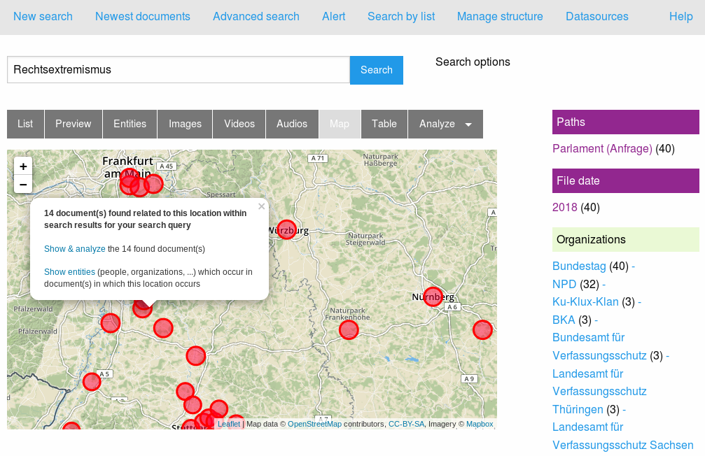
Interactive map of documents or search results
Visualize locations occur in documents on Interactive map
By the view / tab "Map" you can analyze visual which locations occur in the documents of your search results:
Openstreetmap
Open Data from Openstreetmap is used to show the map. The extraction and mapping of documents to locations (data enrichment of your documents by geodata) is done on your local computer, not by a cloud service.
Add geodata to Thesaurus
Therefore there will be an UI adding geodata to your locations of interest that you can manage with the thesaurus manager.
Open Data for Geodata by ontologies with geo coordinates
You don't have to manage each town of your country yourself:
Thanks to open standards for the Semantic Web you can import open data ontologies like for example Wikidata location data like the towns of your country with geo coordinates to your linked data knowledge graph by ontologies manager.
Open Source user interfaces out of the box
Thanks to a client ordering this features as open source software, there will be an easy UI for setup that after the Open Semantic Entity Search API is released as open source.
If you are interested to alpha & beta test such features before that, please write an email.